Ubiquitous Geospatial Positioning via Knowledge Discovery from Geographic Information Systems
Dept. of Civil, Environmental and Geodetic Engineering, The Ohio State University
*The organization and the title are those when awarded
Research summary
The primary method for geolocalization is based on GPS which has issues of localization accuracy and unavailability.
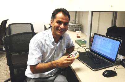
Dr. Yilmaz introduces a new geolocalization approach to GPS-denied indoor and outdoor environments. His approach has two principal components: public domain transport network data for outdoor and indoor available in GIS (Geographic Information System) databases; and trajectory data acquired from a mobile platform. This trajectory is estimated using inertial sensors or visual odometry. He abstracts the transport map information as a graph data structure, where various types of roads are modeled as graph edges and typically intersections are modeled as graph nodes. A search for the trajectory in real time in the graph yields the geolocation of the mobile platform. The approach uses a simple visual sensor and it has a low memory and computational footprint.
Dr. Yilmaz's approach has the potential to completely augment, or even supplant, GPS based navigation since it functions ubiquitously in all environments.